
The Montagne Noire from Revel: lakes, forests, channels
The north face of the Montagne Noire starts at Sorèze. Beech and fir forests, the Cammazes lake, the channel Riquet dug to feed the Canal du Midi, and the Pic de Nore at 1,211 metres.
The Cammazes lake
Eighteen minutes from the loft, about 650 metres up, the Cammazes lake is a reservoir built to feed the Canal du Midi, set in the forest. Paths circle it and follow the mountain channel. In summer the shade is worth the drive.
The mountain channel and the Alzeau intake
To bring water from the Montagne Noire to the Naurouze watershed, Riquet had a channel dug from the Alzeau intake through the forest down to the Saint-Ferréol basin. The path along it is flat, under beech trees, and part of the World Heritage listing with the canal.
Arfons
A forest village 36 minutes from the loft, the starting point for loops through the fir woods and up to the ridges.
The Pic de Nore
The highest point of the Montagne Noire at 1,211 metres, recognisable by its transmitter. On a clear day the view runs from the Pyrenees to the Mediterranean. Allow 1 h 20 by car from the loft via Les Cammazes, or a day on foot from Pradelles-Cabardès.
Before you go
Good shoes, water, and a look at the forecast: weather changes fast on the ridges. The forests stay cool in high summer.
Frequently asked questions
Can you swim in the Cammazes lake?
No, it is a drinking-water and canal reservoir, so swimming is forbidden. For a swim, Lake Saint-Ferréol is 9 minutes from the loft.
An easy walk with children?
The flat path along the mountain channel, or the loop around the Cammazes lake.
Sleep next door
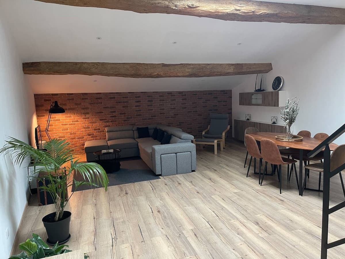
The Industrial Lodge, an 85 m² loft for five in the hamlet of Dreuilhe. Booked direct, 10% less than on the platforms.
€63a nightwhen booking here€70 on the platforms
See also
Your host: Florian